Photo: Pexels
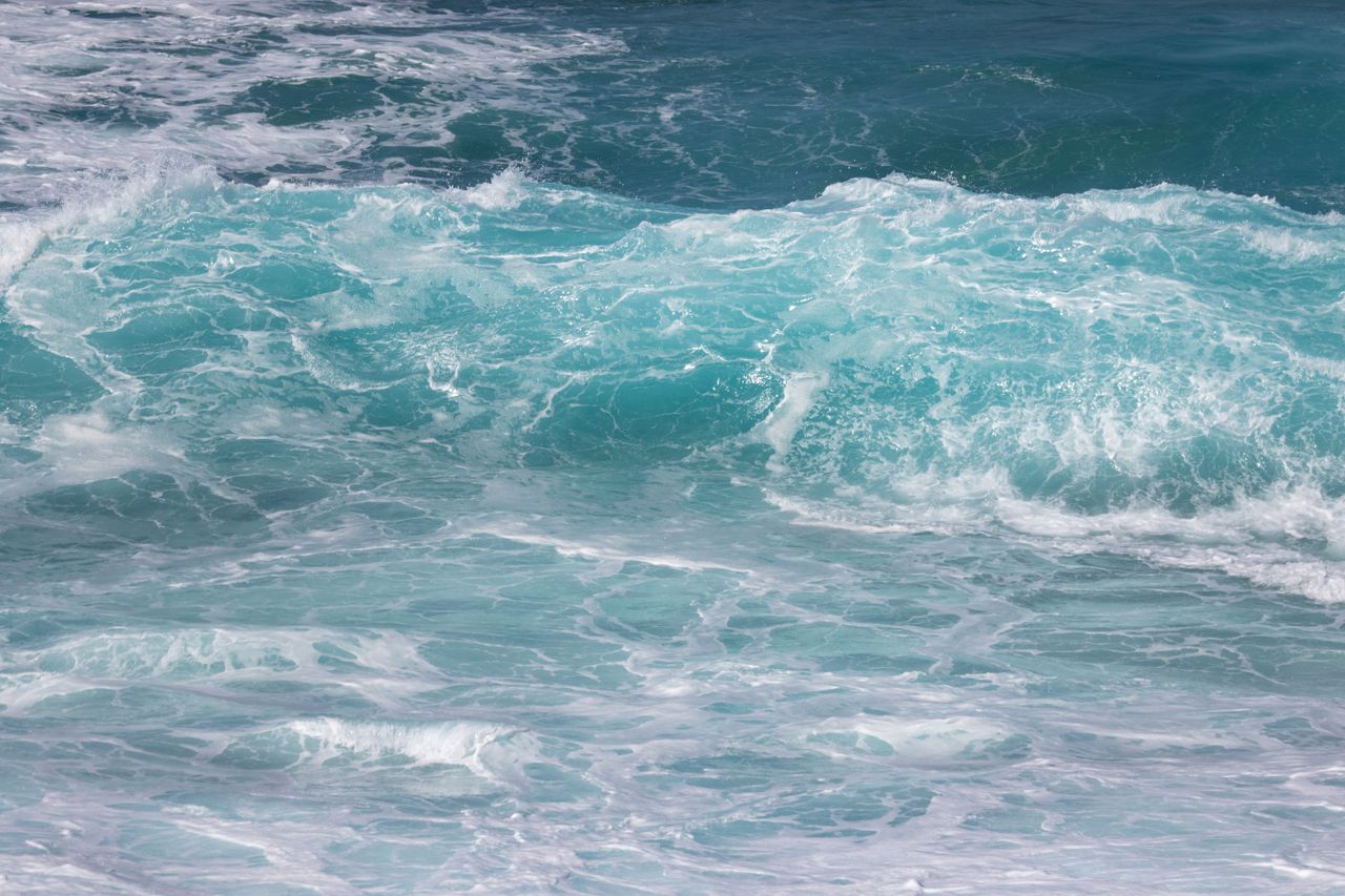
The oceans absorb more than 90% of the extra heat trapped by greenhouse gases, which makes sea surface temperature one of the clearest gauges of where the climate is heading. In 2026, that gauge has been flashing red.
According to the European Copernicus service, the average global sea surface temperature reached 21.1°C on August 21 and 22, beating the previous record of 21.09°C set in March 2024. Copernicus described the timing as particularly notable, because ocean temperatures normally peak in March and April, not late summer. Samantha Burgess of the European Centre for Medium-Range Weather Forecasts called the record “another clear signal of an ocean under growing stress.”
El Niño builds
Adding to the pressure is El Niño, the periodic warming of the central and eastern tropical Pacific that raises global temperatures and reshapes rainfall patterns. Forecasters expect this event to peak between November and January, and Copernicus warned it could reach strengths not seen for several decades.
El Niño effects arrive unevenly. Parts of Southeast Asia and Australia typically turn drier, raising fire and drought risks. Parts of South America see heavy rains. Southern Africa often faces drought during the growing season. The UN has warned that the 2026-27 event could push tens of millions of additional people into acute hunger.
Marine life under stress
Warm water holds less oxygen and drives fish toward cooler waters, disrupting fisheries that coastal communities depend on. Coral reefs are especially vulnerable. When temperatures stay high for weeks, corals expel the algae that feed them and turn white, a process called bleaching. Repeated bleaching can kill entire reef systems.
Scientists are also learning that El Niño itself may be changing. Research on Galápagos coral cores published in Science found that El Niño events of the past 40 years have been stronger than at any other time in the past millennium sampled by researchers.
What to watch
The next three months will show how strong this El Niño becomes. If it matches the most extreme events of 1982-83 or 1997-98, 2027 could set new global temperature records, and the 1.5°C threshold could be exceeded on an annual basis more often.
Our take
El Niño is a natural cycle, but it is now riding on top of a warming trend that humans created. That combination means each new El Niño starts from a higher baseline and pushes records further. For governments, the lesson is practical: drought plans, fisheries support and heat preparedness should be activated now, not after the damage shows up in harvest data next year. Early action is cheaper than emergency relief, and the forecasts have given everyone fair warning.
Sources: Copernicus via Al Jazeera; bne IntelliNews; The Conversation via WLRN; Mongabay.